
St Ives rewards walkers more than almost any other town on this coast, from the cobbled maze of the old fishing quarter to one of the toughest, most beautiful stretches of the South West Coast Path. Here’s how to explore it, and what to know before you set off.
Here’s a video I shot on an early morning stroll around St Ives back in September 2024.
Exploring the Old Town
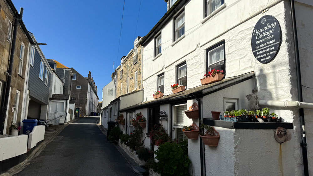
What is the “Down-a-long” area of St Ives?
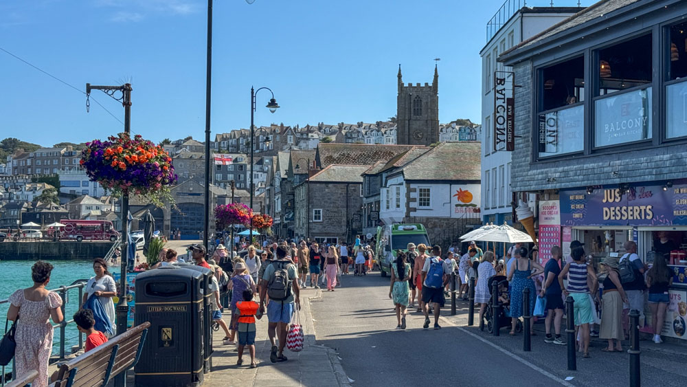
The Down-a-long is the historic, charming old fishermen’s quarter of the town: a picturesque maze of cobbled streets, whitewashed stone cottages, small art galleries and hidden courtyards squeezed between the harbour and Porthmeor Beach. It’s the best area for aimless wandering, with no real agenda beyond getting a little lost.
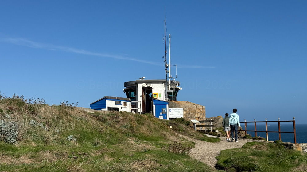
What is “The Island” in St Ives, and is it a real island?
Despite the name, The Island is actually a headland at the north end of town, between Porthmeor and Porthgwidden beaches, rather than a true island. It’s home to St Nicholas Chapel and a coastguard lookout, and a walk around it gives some of the best views over both beaches and the wider bay.
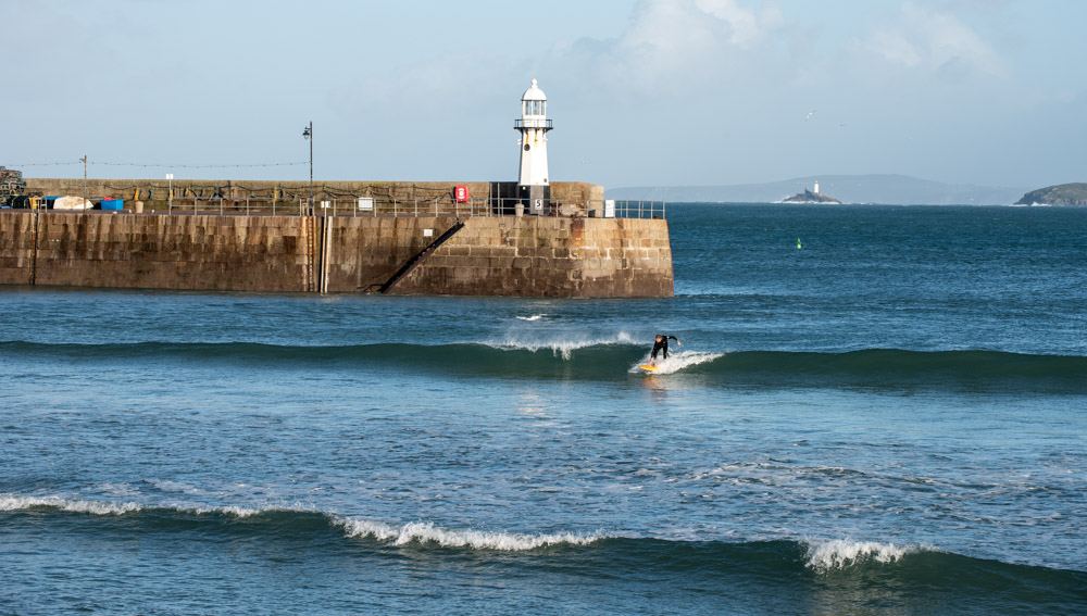
What is the history of Smeaton’s Pier and its lighthouse?
Smeaton’s Pier was built in the 1770s by John Smeaton, the engineer famous for the Eddystone Lighthouse, and later extended to give the harbour the shape it has today. A light at the pier end still guides boats safely into the harbour, and a walk out along the pier is one of the best free things to do in town, especially at sunset.
Coast Path Walks
How hard is the South West Coast Path walk from St Ives to Zennor?
This 6-mile stretch is notoriously strenuous, rugged and physically demanding. Expect boulder scrambles, steep steps and boggy sections underfoot, so sturdy hiking boots and a realistic sense of your own fitness are both essential. The payoff is some of the wildest, most dramatic coastal scenery in Cornwall, largely untouched by development.
You can learn all about the walk from St Ives to Zennor here.
How do you get back from Zennor to St Ives after a hike?
There’s no railway station at Zennor, so most walkers either retrace their steps along the coast path, arrange a taxi pickup from the village, or catch a seasonal bus service that runs along this stretch of coast. Timetables and routes vary by season, so check current options before you set off if you’re relying on public transport to get back.
Can you walk from St Ives to Carbis Bay along the coast?
Yes, and it’s a much gentler outing than the Zennor route: a coastal path of a couple of miles connects the two, with good views back over St Ives along the way. If you’d rather not walk back, the branch line train covers the return leg in a few minutes.
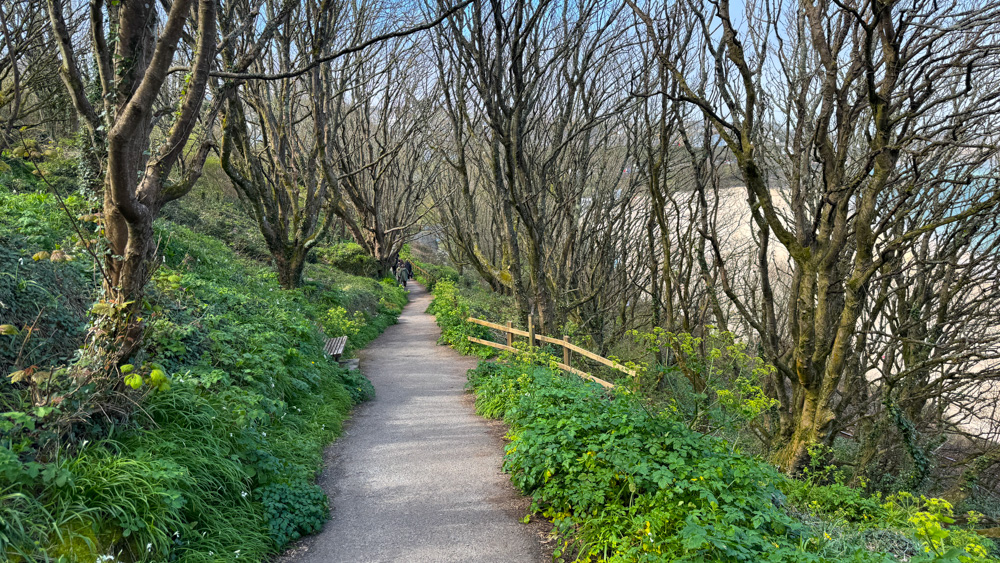
It’s a lovely walk, and one I’ve done many times. It’s probably easier to park in St Ives and walk to Carbis Bay from there, since parking in Carbis Bay can be even more of a challenge than St Ives itself.
Getting Around on Foot
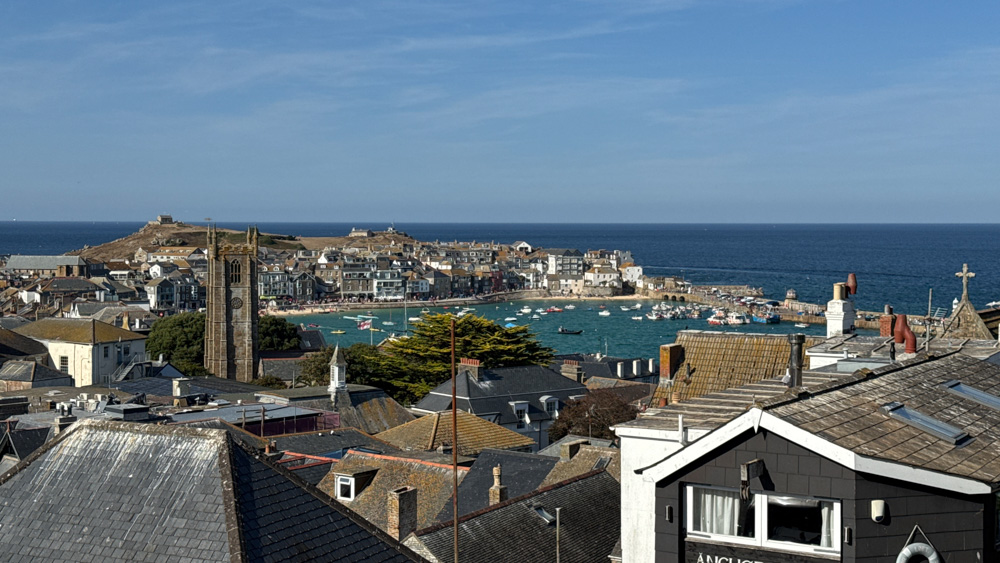
Is St Ives very hilly for people with mobility issues?
Yes, genuinely so. The town rises steeply from the harbour, and several of the main car parks and residential streets sit well above the centre, meaning even a short trip can involve a proper climb.
Is St Ives wheelchair and pushchair accessible?
The harbour front and main promenade areas are largely flat and manageable, and several beaches offer level access points. The old town’s Down-a-long lanes, though, are cobbled, narrow and often on a slope, which makes them genuinely difficult going for wheelchairs and pushchairs. Plan your route with that in mind, and stick to the harbour front and seafront paths where possible.
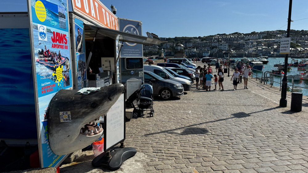
Read my guide to accessibility in St Ives.
St Ives Guides
The Ultimate St Ives Travel Guide: 100+ Questions Answered

The best of St Ives for Van Lifers
Planning Your Trip To St Ives
Walking & Exploring St Ives

An Art Lovers Guide To St Ives
Where To Eat In St Ives
Dog-Friendly St Ives
The Ultimate St Ives Beach Guide
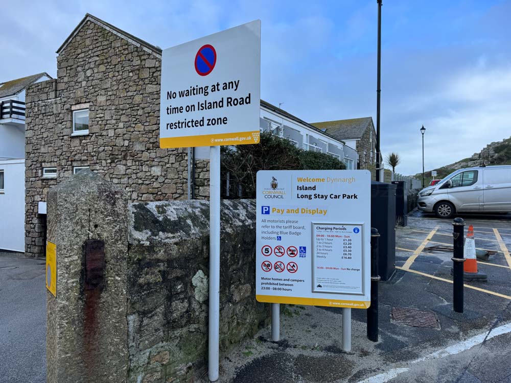
Parking, Trains & Getting to St Ives
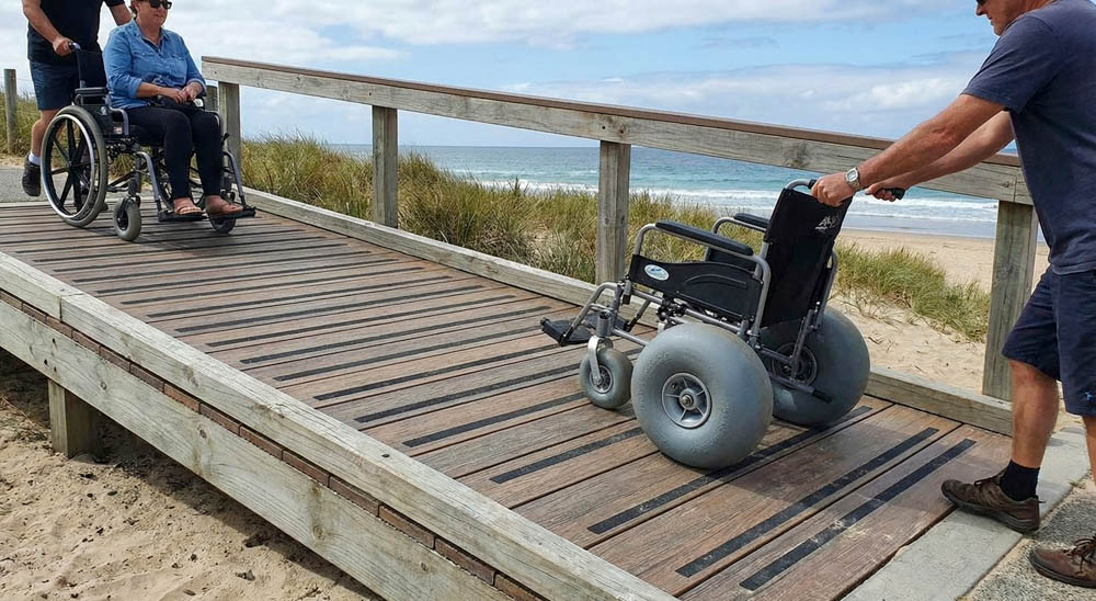
The best accessible places in St Ives


Hi, I’m JV. As an ex travel photographer, I’ve been all over the world, but there’s nowhere else I’d rather call home than Cornwall. Now I’m putting that experience to work, finding the best of Cornwall for you. I hope you found this article useful. Please check out my socials below: