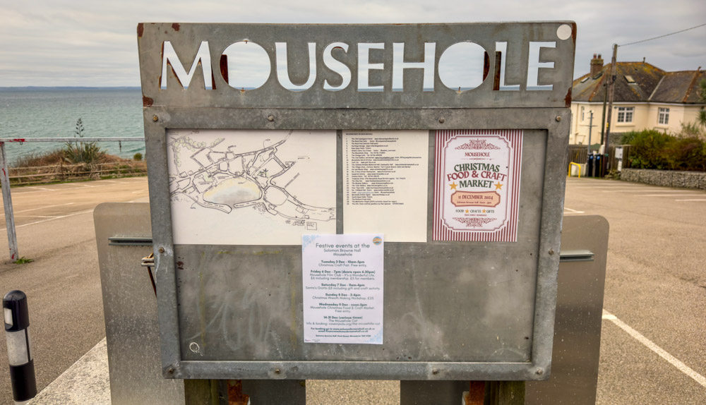
Mousehole in winter offers a stark, peaceful contrast to the bustling crowds of the summer months. While the village is famous for its spectacular Christmas light display in December, the weeks following provide a quieter opportunity to appreciate the village and narrow “opes” without the squeeze.
Walk at a Glance
- Distance: Approx. 1.5 miles (2.4 km)
- Time: Allow 1 hour (at a slow pace including photo stops)
- Difficulty: Easy (Some steps, slippy paths and cobblestones)
- Accessibility: Some sections are not suitable for wheelchair users
- Start Point: The Parade
Watch The Walk
Parking and Starting the Walk
This walk was recorded on 16/02/26, starting from The Parade, the main road that leads into the village from the direction of Newlyn. Visitors may be fortunate enough to find a roadside space here, which offers an immediate elevated view of the sea. If these spaces are occupied, the Cornwall Council-run ‘Parade’ car park provides a reliable alternative nearby.
View The Parade on Google Maps
Read our guide to the best places to park in Mousehole


Along the Rocks to the Harbour
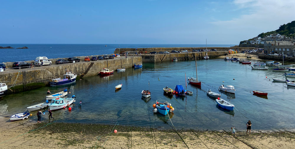
From The Parade, steps lead down onto the coastal path. This stretch runs directly past the Mousehole Rock Pool, a popular tidal pool that sits nestled among the granite rocks. Following the path as it curves around the shoreline, the walk leads directly into the heart of Mousehole Harbour.


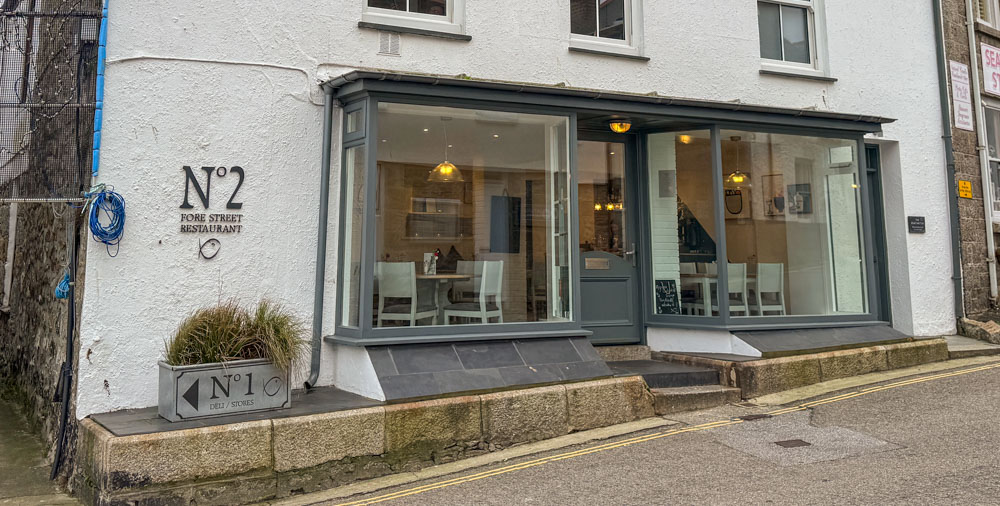
The harbour remains the focal point of the village. It is worth stopping here to admire the tiered cottage rows and explore the independent businesses that line the water’s edge. Among these is the famous ‘Mousehole’ shop, known for its curated selection of local gifts, art supplies, toys and homeware.


Historic Streets
The route continues around the harbour, passing the historic Ship Inn a traditional pub that has served as the village local since the 18th century. Walking from North Quay onto South Quay, the path turns into Grenfell Street.
Further along Grenfell Street lies Keigwin Place, home to the Keigwin Arms. This building is one of the oldest in Mousehole and famously survived the Spanish Raid of 1595. While most of the village was burned to the ground by Spanish forces, this stout manor house remained standing. A plaque on the wall commemorates Jenkyn Keigwin, who died defending his home during the attack.


The Mousehole Cat and the Harbour Wall
Turn left at the Keigwin Arms and head back toward the water, where the walk passes the cottage famously associated with The Mousehole Cat, the beloved children’s story by Antonia Barber. The tale of Tom Bawcock and his cat, Mowzer, who braved a storm to save the village from famine, is central to the village’s identity.


Continuing past the cottage and through the wharf car park, the route leads onto the massive granite harbour wall. Walking to the very end provides a close-up look at the wooden sea defences.

The harbour is guarded by formidable granite walls, some of which trace their origins back to the late 14th century. These historic structures have weathered centuries of Atlantic swells, but the village also relies on a more manual form of protection during the winter months. To combat severe storm surges, massive timber “baulks” or beams are slotted into the narrow harbour entrance. This temporary barrier acts as a vital secondary defence, shielding the inner quay and the village’s low-lying cottages from the force of the waves when the weather turns.


From this vantage point, visitors can look out across Mount’s Bay toward Penzance and the iconic silhouette of St Michael’s Mount. Directly offshore sits St Clement’s Isle, a small rocky islet that serves as a natural breakwater and a haven for local seals and seabirds.
Returning via Gurnick Street
After retracing steps along the harbour wall and passing the public conveniences near the car park, the walk heads onto Gurnick Street. This narrow road follows the elevation of the village, providing a different perspective of the rooftops and the sea beyond. Following the road as it loops back toward the village centre, the route passes St Clement’s Terrace and the local church.


To return to the harbour, one can stay on Chapel Street or take the small, narrow alleyway located directly opposite the entrance to the small private car park. This path winds through the heart of the village, eventually emerging back next to the Mousehole Cat cottage. If the tide is out, the small sandy beach within the harbour walls offers a final spot for a stroll before heading back to the start.


Mousehole is a compact village, making it virtually impossible to get lost. It is a location best enjoyed by wandering slowly and following whichever narrow lane piques your interest.


Accommodation in Mousehole
Read our guide to the best places to stay in Mousehole


Accessibility
Access Cornwall is a fantastic local resource that provides detailed accessibility information. We recommend checking their listings for venues that offer “Visual Stories” (guides with photos of what to expect before you arrive). Visit Access Cornwall
Guides
The best places to park in Mousehole
The best things to do in Mousehole
The best places to stay in Mousehole